Upload
Drop in your files, plans, GIS, and project context. Or just an address for a property screen.
AI drafts. You review.
Create a planning report from site plans, application forms, and supporting documents, or screen a property using an address or PIN. Ready to review in minutes.
Ontario-specific: ORMCP, LSPP, PPS, official plans, and municipal by-laws.
PILOTDeterministic Canadian building-permit compliance checksPreview CodeTrace
For planners
For real estate
Product film · 24 seconds
Follow a property from address to parcel context, sourced findings, deal flags, and a clearer next move.
A concise product walkthrough with licensed music and on-screen text.
Opening. See the screen before the offer. Review deal-focused zoning, policy, GIS constraints, and risk flags from an address or PIN alone. The sample address is 88 Millfield Crescent, PIN 03146-0124.
Sample property screen. The report identifies the property as a detached residential parcel zoned R2 Residential Two-Unit, with an Official Plan designation of Neighbourhood Residential. Its overall screen posture is proceed with caution.
Evidence with provenance. Findings retain their sources and confidence markers. The sample confirms R2 zoning, Neighbourhood Residential designation, and no 100-year flood plain on the parcel. It also identifies six wetlands within 500 metres, the nearest 42 metres away, and a Mill Creek tributary 85 metres away.
Risk flags and next steps. The film flags nearby wetlands, Oak Ridges Moraine policy considerations, and secondary-suite requirements. It recommends an up-to-date survey, a zoning certificate, and conservation authority pre-consultation.
Closing. Planning evidence, ready to use. See the screen and make the next move. AutoCity Labs offers planning reports for professionals and property screens for real estate, starting with an address or PIN.
From intake to a signed report
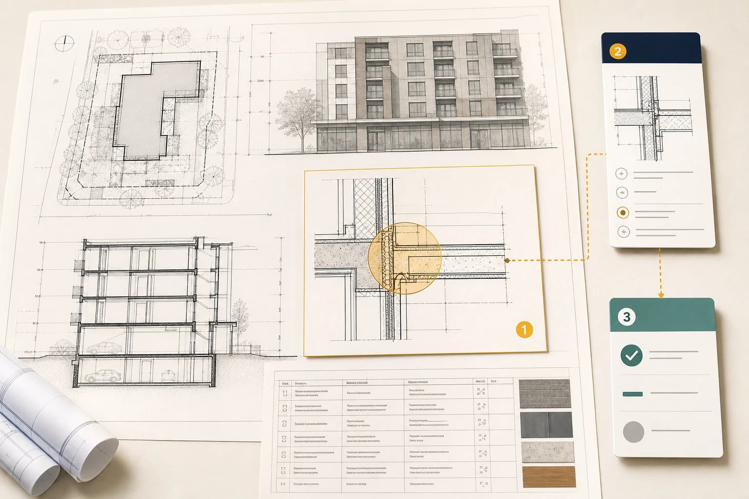
Drop in your files, plans, GIS, and project context. Or just an address for a property screen.
Every applicable zoning, provincial, municipal, and GIS source pulled and cited inline, nothing summarized away.
Each section drafted from the cited evidence, formatted to your municipality's submission standards.
Findings stay evidence for your judgment. Edit, accept, or rewrite, then ship.
Every report
Full planning reports include every section below. Property screens emphasize zoning, policy, GIS context, and constraints that matter for the deal.
Side-by-side checks against zoning by-law standards, permitted uses, and site-specific provisions.
Public GIS layers reviewed with mapped evidence covering settlement, greenbelt, and watershed context.
Clear interpretation of PPS, ORMCP, LSPP, official plan, and secondary plan policy.
Plan markups with setbacks, lot metrics, and on-site constraints called out.
Hazard lands, wetlands, and watershed regulation areas flagged for CA pre-consultation.
Key findings include source notes for policy, by-law sections, files, or GIS layers.